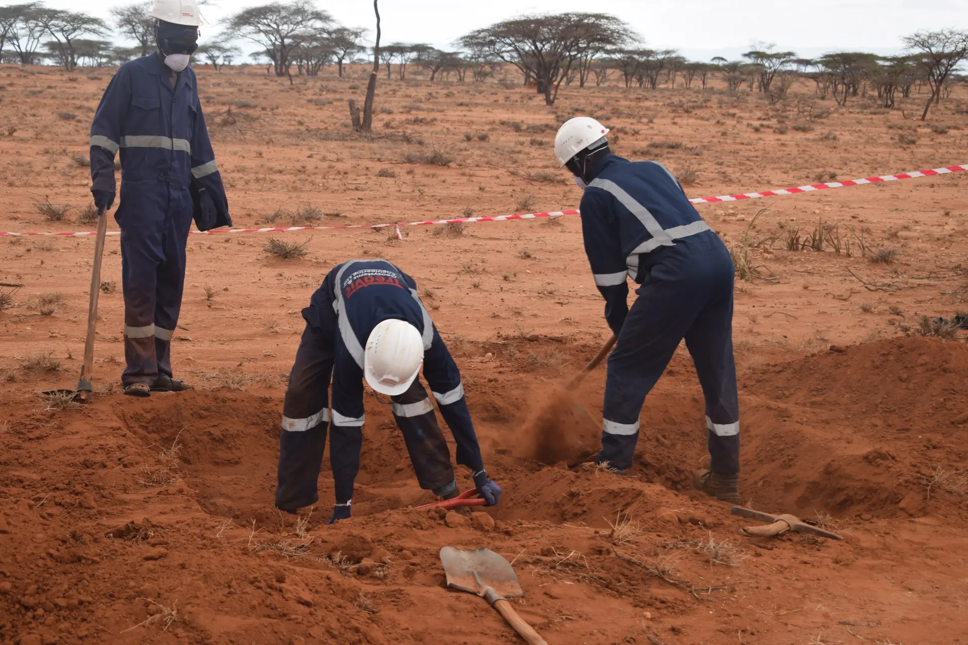
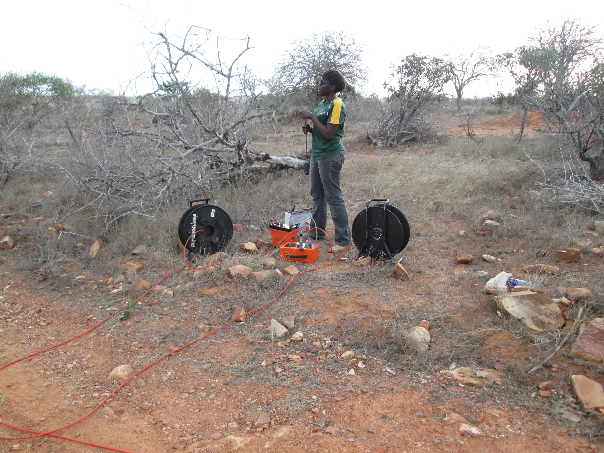
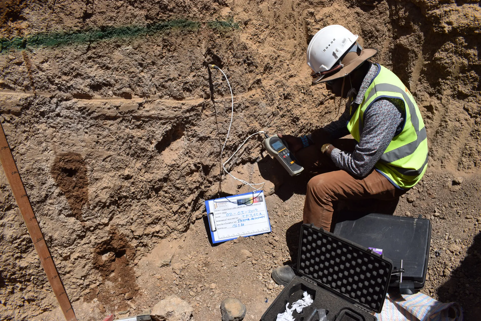
Treavic Geosystem Ltd. is a fully serviced surveying and mapping firm offering a wide range of services including land surveying, engineering surveying, geodetic & GPS surveying, aerial photography, and GIS & mapping solutions. With offices in Kenya, Rwanda, and Zambia, we deliver precision, reliability, and innovation across Africa.
Our team of professionals brings together local expertise and regional experience to handle complex projects efficiently. We use the latest survey technology — including Total Stations, GPS Receivers, Robotic Instruments, and advanced CAD systems — to ensure every project meets international accuracy standards.
We provide end-to-end survey solutions from design to data delivery, with a commitment to accuracy, transparency, and client education. Our goal is to provide cost-effective and dependable geospatial data that empowers better decision-making for infrastructure, environmental, and land development projects.
Below are some of the core survey services we provide: