Geophysical Investigation

Exploring Subsurface Conditions with Precision

Advanced Non-Invasive Geophysical Surveys

Treavic Geosystem (TGE) provides high-resolution geophysical investigations from the ground surface and within boreholes to visualize subsurface conditions. We design each survey to meet specific objectives, leveraging state-of-the-art instruments and advanced processing techniques to deliver accurate and actionable subsurface models.
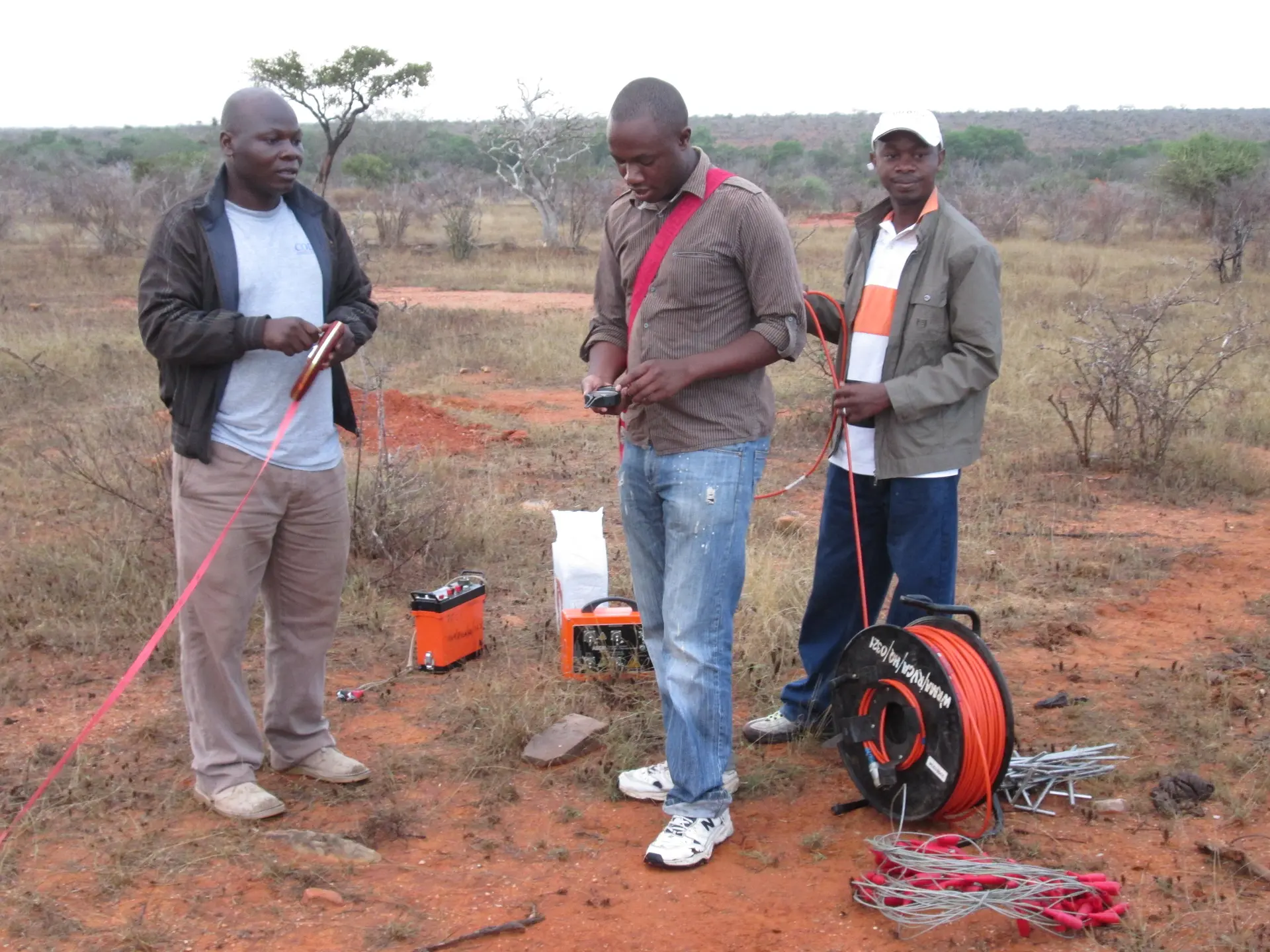
Surface & Borehole Surveys
Seismic & Resistivity Testing
Magnetic & Electromagnetic Methods
Data Processing & Interpretation
Surface Geophysical Testing

1. Surface Geophysical Testing

Our surface surveys provide detailed subsurface imaging using non-invasive technologies that help engineers and geologists characterize ground conditions for infrastructure, environmental, and geotechnical applications.
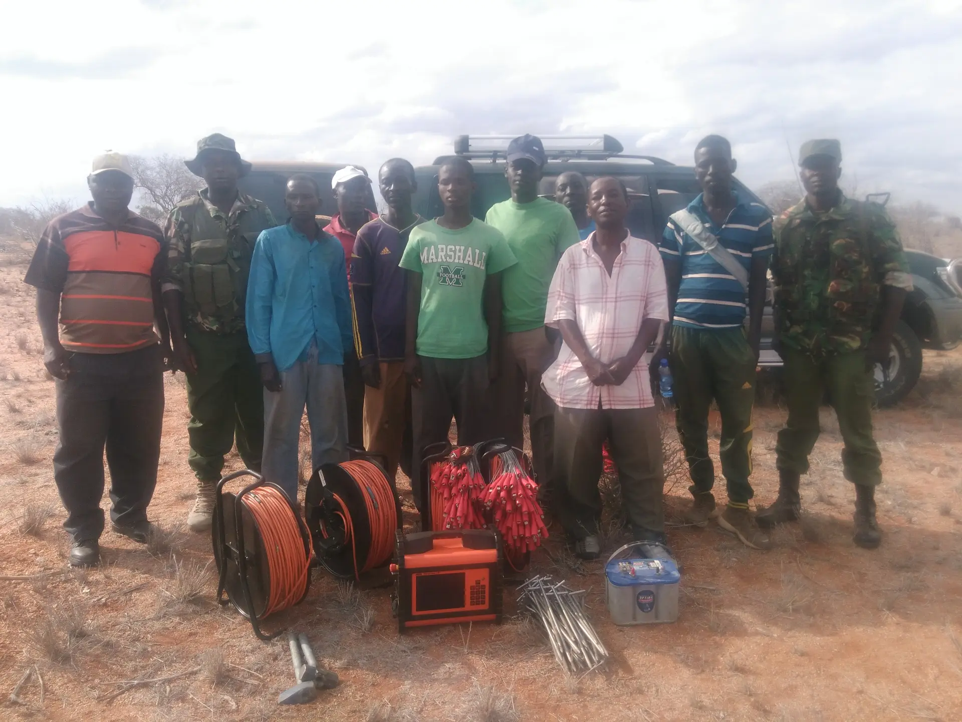
  • ✔ Electrical Resistivity (1D, 2D & 3D)
  • ✔ Self-Potential / Induced Polarization (IP)
  • ✔ 2D Seismic Refraction Surveys
  • ✔ 2D Seismic Reflection Surveys
  • ✔ Gravity & Electromagnetic Surveys
  • ✔ Surface Wave (MASW, REMI, SASW, CSP) Tests
  • ✔ Ground Penetrating Radar (GPR)
  • ✔ Tellurics & Dipole-Dipole Electrical Methods
  • ✔ Downhole Seismic Surveys
  • ✔ In-situ Dynamic Property Measurements
Borehole Geophysics

2. Borehole Geophysics

Using cutting-edge borehole logging technologies, we collect continuous and precise downhole data to assess lithology, fractures, groundwater flow, and mechanical properties of the subsurface.

  • ✔ Borehole Televiewer (Optical & Acoustic)
  • ✔ Electric Logging (E-Log)
  • ✔ Natural Gamma & Temperature Measurement
  • ✔ Spinner & Impeller Flow Tests
  • ✔ Full Wave Sonic Velocity Logging
  • ✔ Thermal & Gamma Density Logging
3. Specialized Seismic Testing
  • ✔ Crosshole Seismic Testing
  • ✔ Seismic Tomography
  • ✔ MASW (Spectral Wave Analysis)
  • ✔ SASW (Surface Wave Studies)
  • ✔ Seismic Refraction Imaging
4. Applications & Clients

We support geologists, engineers, hydrologists, and planners across Africa — delivering essential subsurface insights for civil works, geotechnical design, and environmental engineering.

5. Data Processing & Reporting

We use advanced inversion and modeling software to process data, producing clear, detailed interpretations that guide safe and economical project decisions.

50+

Surveys Completed

15+

Experienced Specialists

8+

Countries Served
WhatsApp Chat Icon